Carman Springs Natural Area
https://www.alltrails.com/trail/us/missouri/carman-spring-trail
Explore ten miles of high-quality Ozark creeks that course through narrow, steep-sided valleys. Access through Mark Twain National Forest
DAVIDSON/PARIS CONSERVATION AREA
https://mdc.mo.gov/discover-nature/places/carrick-w-davidson-robert-g-paris-wildlife-area
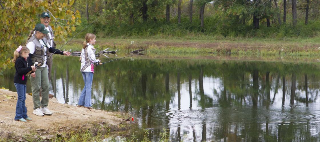
270 Acres, 200 acres are mixed warm-season grasses, old fields and crop land. The remainder of the land is wooded. There is a two-acre pond and three smaller ponds on the property. Middle Fork Creek meanders through the area. There have been as many as 12 coveys of quail on the property, with as many as 100 quail being harvested in one year.
ELEVEN POINT NATIONAL SCENIC RIVER
https://www.fs.usda.gov/recarea/mtnf/recarea/?recid=21676
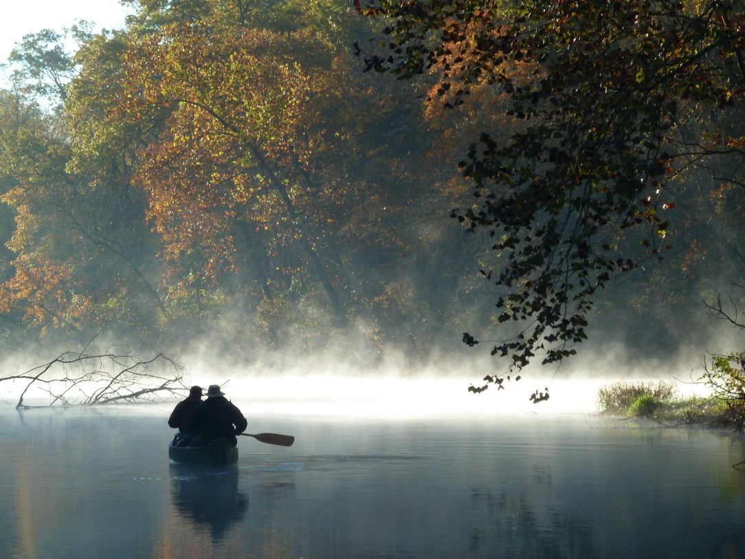
Established in 1968 as a 44-mile scenic river, free of impoundments with a largely undeveloped shoreline and watershed. The Eleven Point River meanders through the picturesque Ozark hills. Barely more than a small stream at its start, it gets wider and deeper and it travels South-East. Springs pouring from bluffs or rushing up from a vast number of underground spots provide continuous water and beauty. Stretches of rapids and deep clear pools wind around moss covered boulders and shading bottomland hardwood trees.
NORTH FORK SECTION OF OZARK TRAIL
https://www.fs.usda.gov/wps/portal/fsinternet/cs/recarea?ss=110308&navtype=BROWSEBYSUBJECT&cid=FSE_003738&navid=110240000000000&pnavid=110000000000000&position=generalinfo&recid=21766&ttype=recarea&pname=North%20Fork%20Section%20of%20Ozark%20Trail
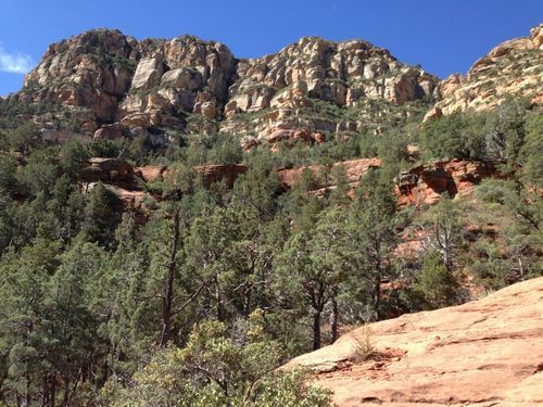
The Pomona Trail Trailhead is located 1 mile west of Pomona on the south side of P Highway. The Blue Hole Trailhead is located 9 miles west of Pomona on P Highway, then turn left on AP Highway, go approximately 3 miles and the trailhead will be on the right side of road.
TINGLER PRAIRIE CONSERVATION AREA
https://mdc.mo.gov/discover-nature/places/tingler-prairie-conservation-area
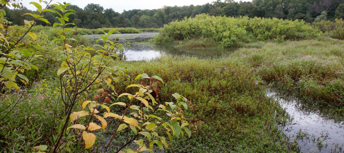
255 Acres. One-half-mile of the South Fork of Spring River meanders through the east side of this 240-acre area. Approximately two-thirds of the area is open, and about 65 acres are classified as woodland. The area preserves a 10-acre wet mesic prairie natural community, a shallow marsh and a five acre sinkhole pond call Tingler Lake. The is the site of two varieties of the state endangered green orchid.
WHITE RANCH CONSERVATION AREA
https://mdc.mo.gov/discover-nature/places/white-ranch-conservation-area
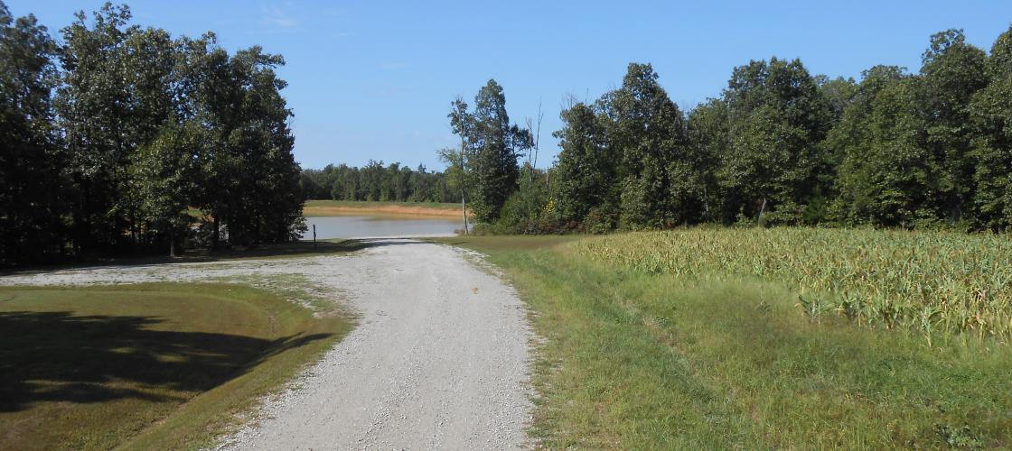
6,614 Acres Located 11 miles south of West Plains. White Ranch is the local name for a region of land previously owned by Harry White. The 6,614-acre area is mostly forested. Visitors to the area will find abundant populations of deer, turkey, and forest wildlife species. The area offers fishing opportunities along the South Fork of the Spring River and at White Ranch Lake. A shooting range is located near the end of Trail #6. Its facilities include a 50- and 100-yard rifle range, plus an area set aside for shotguns. The parking lot, ranges, and public restrooms are accessible to disabled users.
GRAND GULF STATE PARK
https://mostateparks.com/park/grand-gulf-state-park
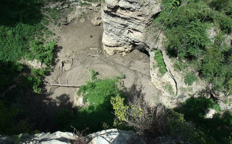
Some people call Grand Gulf State Park the “Little Grand Canyon.” Some just call it “breathtaking.” The park is one of the natural wonders of the Ozarks, presenting the most spectacular collapsed cave system in the Ozarks. The "Grand Gulf" stretches for about three-quarters of a mile between 130-foot-high walls. Visitors can view the gulf from trails on top or from the floor where they can walk under the natural bridge, which spans 250 feet with a 75-foot-high opening. There is no official trail leading to the bottom, so visitors should use extreme caution when attempting to access the bottom. Interpretive signs detail the formation of the gulf.