 Wright County is a county located in the southern portion of the U.S. state of Missouri. As of the 2020 census, the population was 18,188.[1] Its county seat is Hartville.[2] The county was officially organized on January 29, 1841, and is named after Silas Wright (D-New York), a former Congressman, U.S. Senator and Governor of New York.[3]
As of the 2020 United States Census, the U.S. Census Bureau recognized the mean center of the United States population to be within the county, near the community of Hartville.[4]
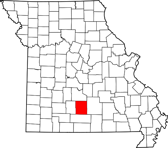
Wright County is bordered by Laclede County on the north, Texas County on the east, Douglas County on the south, and Webster County on the west. It is in the part of the state considered Southwest Missouri. Formed from part of Pulaski County on January 29, 1841, Wright County was named in honor of Silas Wright, a prominent New York Democrat. The county seat of Hartville was named after pioneer settler Isaac Hart.[5] Wright County lost part of its land in 1845 to Texas County, in 1849 to Laclede, and in 1855 a big chunk to Webster.
It appears there were no Native American settlements early in the area, although the wandering Delawares, Shawnees, and Piankashaws did come through. Early white settlers were in the county in 1836 and were probably hunters. Earliest known settlers (by 1840) were Samuel Thompson, Robert Moore, John W. Burns, Jeff and Robert Montgomery, Benjamin Stephens, James Young, William Franklin, Isham Pool, and the Tuckers, according to Goodspeed.[citation needed]
The county has been devastated several times by storms. A tornado that swept through Southwest Missouri that devastated Webster County on April 18, 1880. A flood occurred April 22–23, 1885. Another tornado on May 8, 1888, did considerable damage, as did a hailstorm near the same time that reportedly left hail 3-4 inches deep and in drifts 5–8 feet high, after falling for two hours. Goodspeed gives great accounts of these storms, as well as others.[citation needed]
A good-sized portion of the county is located in the Mark Twain National Forest. The Gasconade River and its tributaries flow through the county, as well allowing for great recreational opportunities.
According to the U.S. Census Bureau, the county has a total area of 683 square miles (1,770 km2), of which 682 square miles (1,770 km2) is land and 1.4 square miles (3.6 km2) (0.2%) is water.[6]
Wright County lies within the Salem Plateau region of the Ozarks. The bulk of the county is drained by the north flowing Gasconade River and its tributary streams. The southern edge of the county is drained by the south flowing headwaters of North Fork River. The terrain is moderately hilly.[7]
https://en.wikipedia.org/wiki/Wright_County,_Missouri