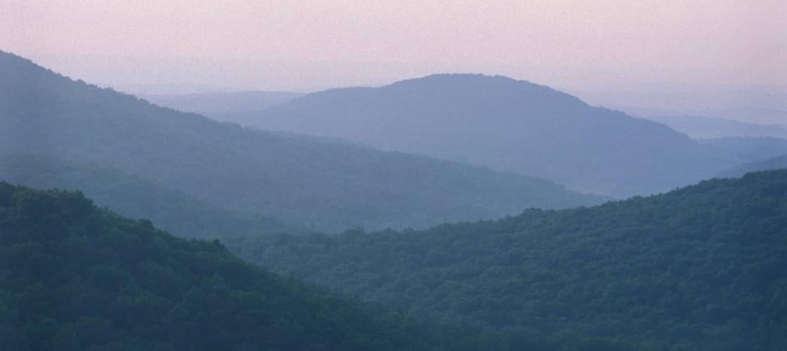
CANEY MOUNTAIN REFUGE 5,500 Acres was part of a wildlife refuge established by the Conservation Department in 1940 during the early years of the wild turkey restoration program. The area lies near the center of what is known geologically as the Gainesville monadnock group, a series of peaks that rise above the surrounding landscape. https://mdc.mo.gov/discover-nature/places/caney-mountain-conservation-area
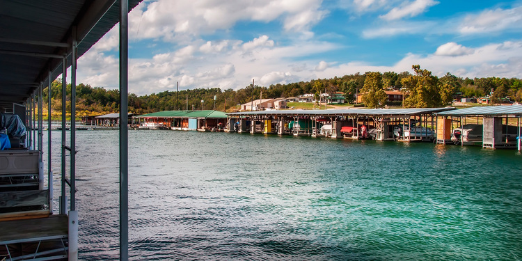
THEODOSIA MARINA On US Highway 160 at the bridge. Accommodations on and near the lake, boat launches. Small state Park at the Marina. https://tmrbullshoals.net/
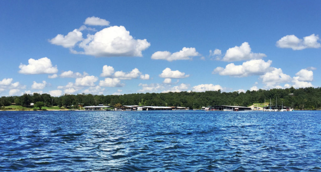
PONTIAC MARINA Beautiful Marina on Bull Shoals Lake located at the end of Highway W. https://www.pontiaccove.com/
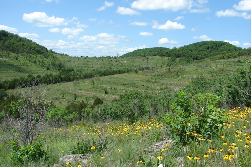
GLADE TOP TRAIL NATIONAL SCENIC BYWAY 23 Miles with Outlooks, Picnic Areas.
https://www.fs.usda.gov/recarea/mtnf/recarea/?recid=21772
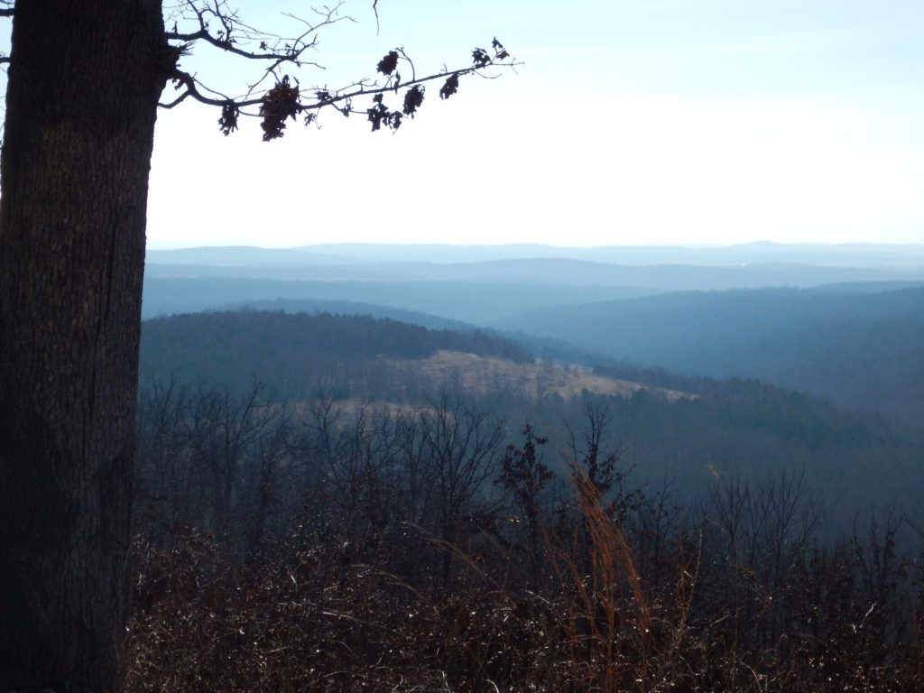
MARK TWAIN NATIONAL FOREST Ozark County total 38,807 public acres. https://www.fs.usda.gov/mtnf
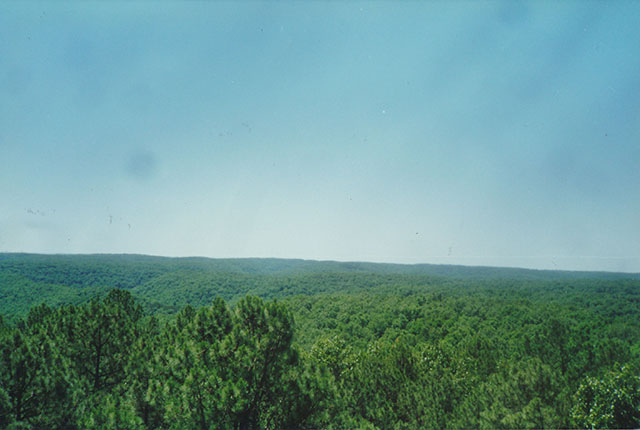
PINEY CREEK WILDERNESS Congress designated the Piney Creek Wilderness in 1980 and it now has a total of 8,178 acres. All of the wilderness is in Missouri and is managed by the Forest Service. The ridgetops rise 400 or more feet above hollows and drainages that dissect the area. Numerous small springs feed several waterways, but the main stream is Piney Creek which drains to scenic Table Rock Lake in the heart of the Wilderness. All five miles of the Piney Creek watershed lie within the Wilderness. Dispersed camping is allowed. Practice leave no trace outdoor ethics. https://www.fs.usda.gov/recarea/mtnf/recarea/?recid=21764
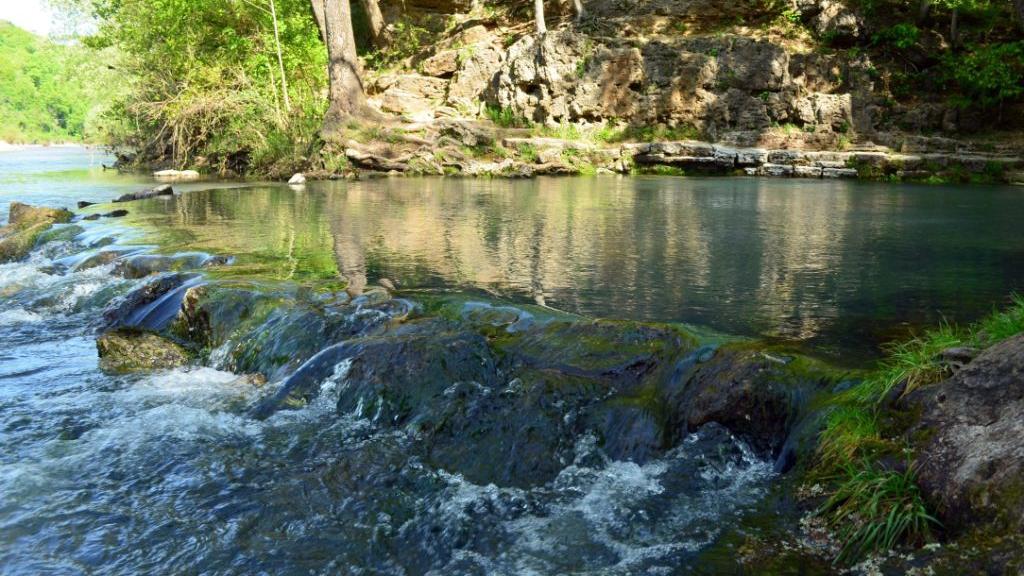
BIG NORTH FORK & BRYANT FORK OF THE WHITE RIVER, are good for float trips; Pine Creek; and Lick Creek, all in the eastern half of the county; and Little North Fork of White River and its numerous tributaries in the western part. Other streams are Spring North Fork of White River, Turkey, Little Otter, and Pond Creeks.
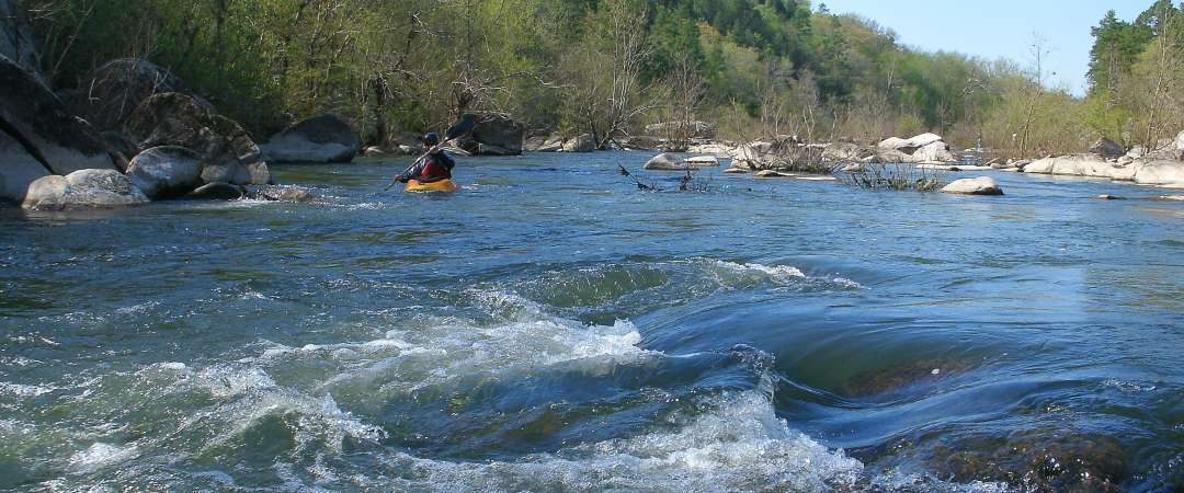
NORTH FORK RECREATION AREA Day Use Only Area serves as trailhead for the 35-mile long Ridge Runner National Recreation Trail and the Blue Spring Trail.
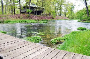
There are seven major springs in Ozark County. The largest, which is the fourth largest spring in the Ozark region of Missouri and Arkansas, is called DOUBLE SPRING or RAINBOW SPRING. The place has been the site of gigantic Indian encampments, as indicated by the thousands of arrow heads of all sizes one may easily pick up.
HODGSON MILL SPRING near Sycamore issues from a point near the foot of a bluff of “cherty and sandy dolomite and sandstone of the lower part of the Roubidoux formation.” There is a nine-foot water fall utilized by the grist mill, and the spring water flows from the mill into Bryant Creek.
ROCKBRIDGE SPRINGS, located 18 miles southeast of Ava, are a series of springs which rise in the bed of a lake about 1,500 feet long and 400 feet wide formed by a dam. The dam produces a head of nine feet, which is used to operate a mill. https://www.rockbridgemo.com/
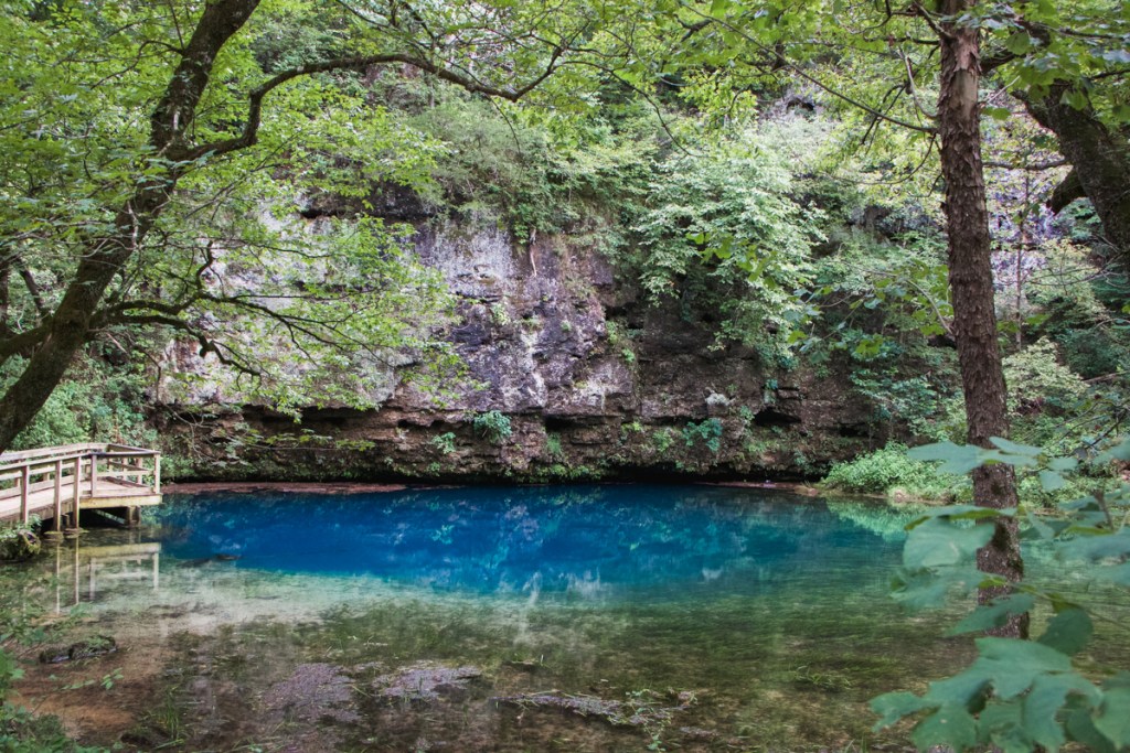
BLUE SPRING is located at McCabo, three miles southeast of Dora. A good road leads to within a quarter of a mile of the spring.
Althea Spring Five miles Northeast of Tecumseh in the abandoned village of Althea. The spring rises is a small depression and flows into the North Fork River.
Video by Gary Marks