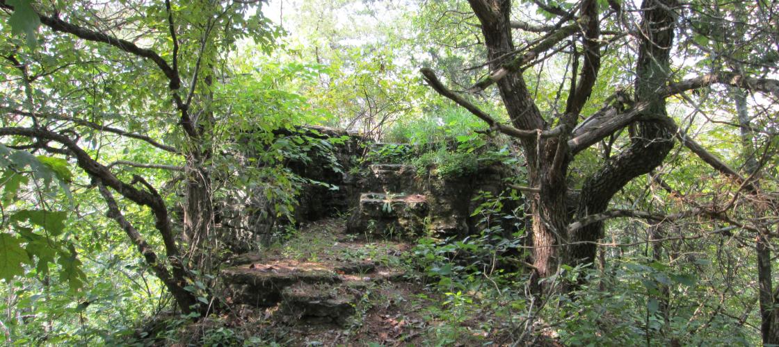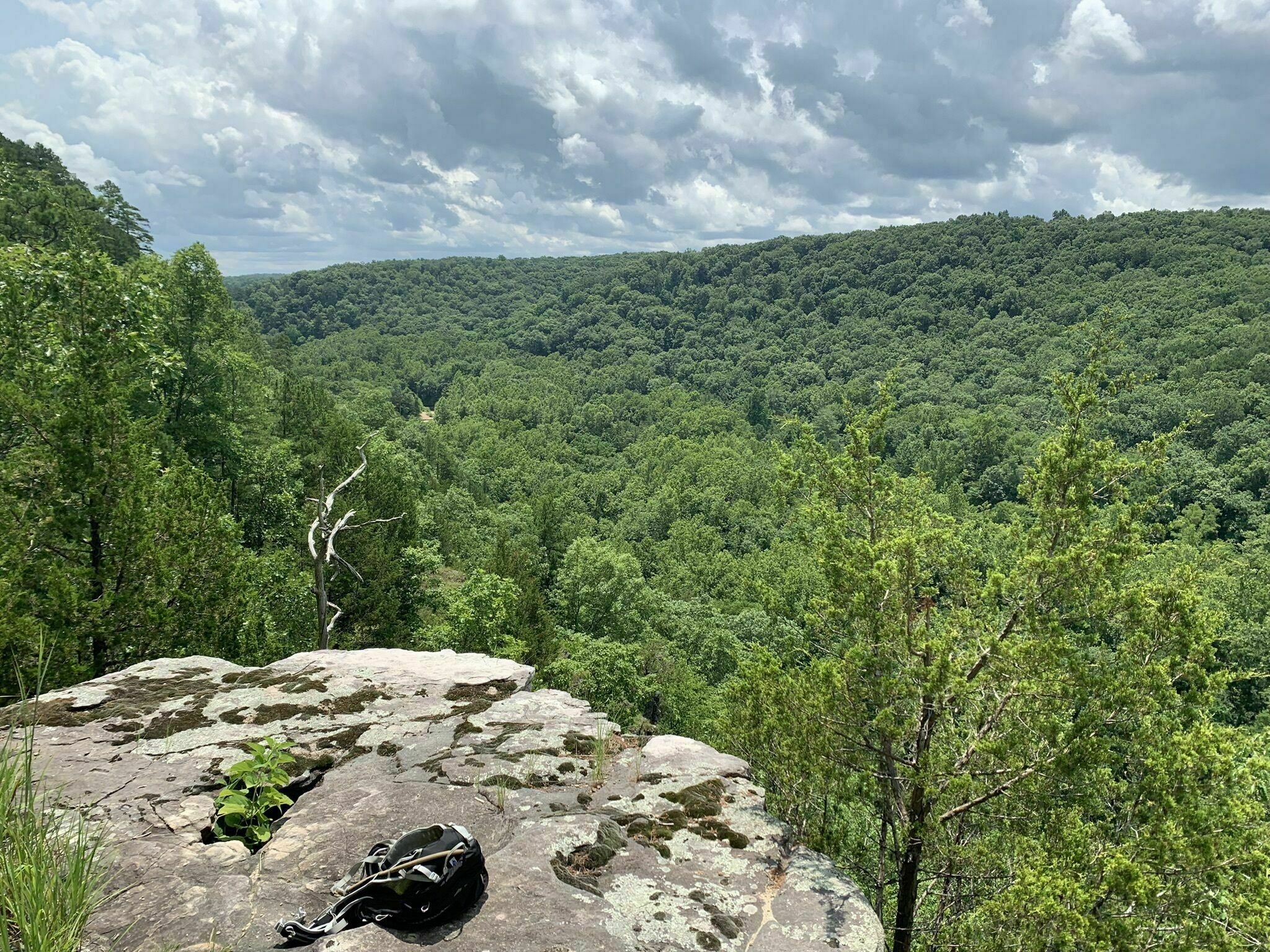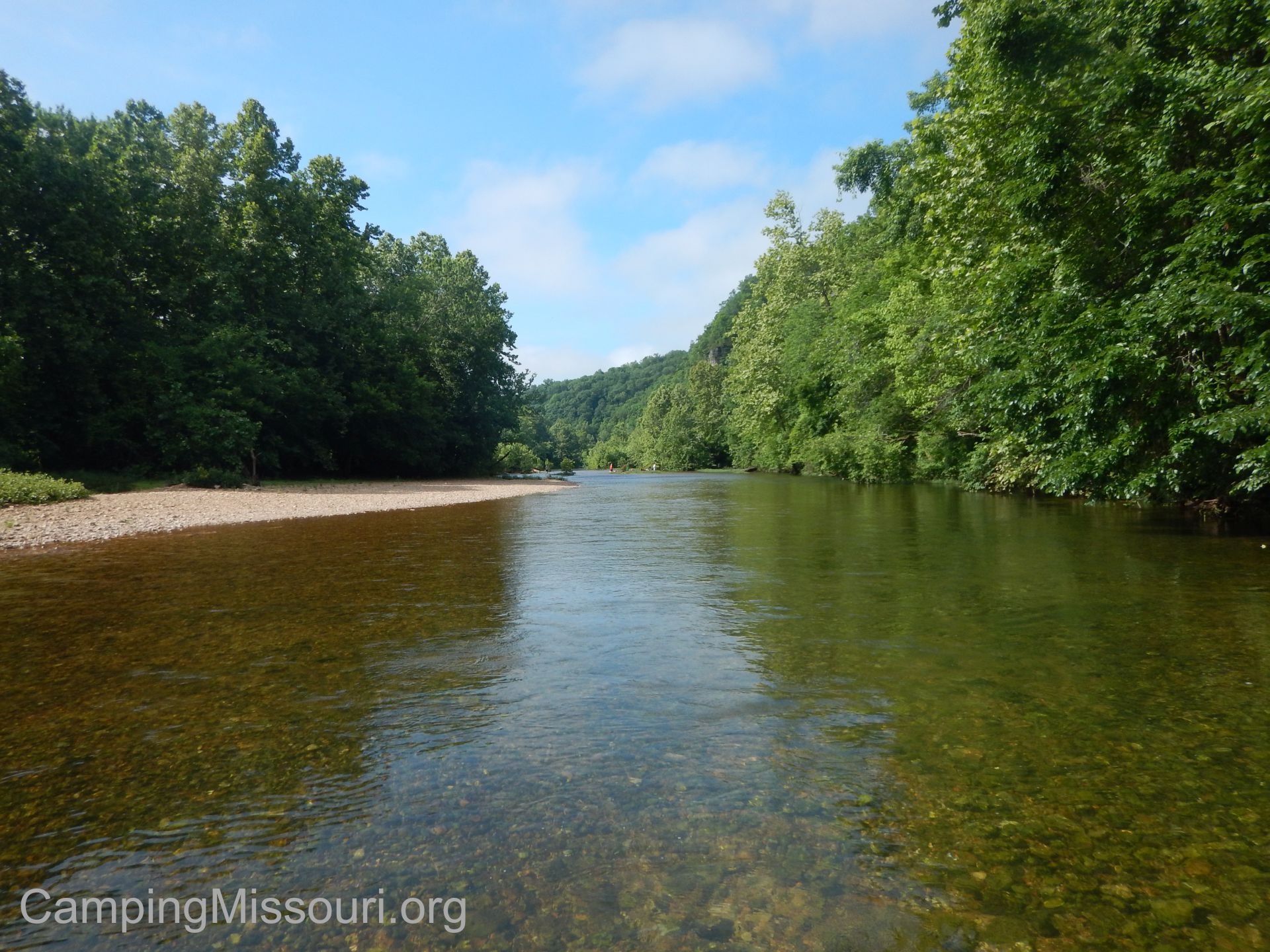
Piney River Narrows State Natural Area
https://ladfoundation.org/other-l-a-d-lands/piney-river-narrows-na/
This is a forested area that has both the Big Piney river and West Piney creek running through it.
Ozark National Scenic Riverways
https://www.nps.gov/ozar/index.htm
The Ozark National Scenic Riverways is a recreational unit of the National Park Service in the Ozarks of southern Missouri in the U.S.. The park was created by an Act of Congress in 1964 to protect the Current and Jacks Fork rivers, and it was formally dedicated in 1971. The park's 80,000 acres are used for many forms of recreation and are home to abundant animal and plant species. 1.3 million recreational visits are estimated annually. Canoeing is one of the most popular activities. Kayaking and inflatable rafts and tubes add to the volume of river floaters. Motorized boating with jonboats is also a popular activity of locals and nearby Missourians. Other activities include horseback riding, hunting, hiking, fishing, camping, birdwatching, nature photography, and sightseeing. The park service promotes the Current River as one of the midwest's best float streams, in part due to the contributions of some of the nation's largest springs. The headwaters of the Current River begin at the confluence of Pigeon Creek and Montauk Springs in Montauk State Park. Wikipedia

Paddy Creek Wilderness and Big Piney Trail
https://www.alltrails.com/trail/us/missouri/big-piney-trail

Jacks Fork River
https://www.harveysalleyspring.com/canoetrips.html
Jacks Fork is one of two rivers in Missouri that are part of the Ozark National Scenic Riverways system. Starting in Texas County, Missouri, this spring-fed river flows 46.4 miles in a general east to northeasterly direction through the heart of the geological area known as the Lower Ozark Natural Division. It is the major tributary of the Current River, ending at its confluence near Eminence, Missouri. At this location, its mean annual discharge is 478 cubic feet per second. The first 25 miles from the Prongs to Bay Creek is deep valley and in the springtime provides Class II water. Due to lack of access, it is the most primitive of the rivers in the region. From Alley Spring to its confluence with the Current River it is a Class I River and is floatable year round with warm water. The Jacks Fork provides some of the most natural conditions in the region with many caves and natural springs. It is a popular recreation destination for canoeists and kayakers and is generally considered a Class I-II difficulty river. Jacks Fork has the name of John Jacks, a local Indian pioneer citizen. Wikipedia
95.7K subscribers
Dog's Bluff Access
https://www.alltrails.com/trail/us/missouri/big-piney-river-dog-bluff-to-gasconade-river
Big Piney River: Dog Bluff to Gasconade River is a 78.7 mile lightly trafficked point-to-point trail located near Houston, Missouri that features a river and is good for all skill levels. The trail offers a number of activity options and is accessible year-round.
